

GoCycle – route guides you can trust
You may have wondered what goes into the making of a GoCycle route guide, so I’ll explain the process here. GoCycle guides are multi-day leisure/touring route guides. If you’re a regular visitor to WillCycle, then you would know I’m a huge fan of cycle touring and cycle camping. Alongside that, I try hard to get more people to take up cycle touring and cycle camping. This is why I have so many Back To Basics guides on here.
Trust
Trust is difficult to earn, and easy to lose. This is why I personally cycle every bit of every route guide I create. Because of that, I know what the route is like, and I can pre-warn you of any tricky bits. I take great pride in the level of detail in my route guides – this is the result of many hours of research. That detail, together with my having cycled the route, means you know you can trust my GoCycle guides.
What exactly is in a GoCycle guide?
There are three parts to a GoCycle guide:
1) The PDF
Each GoCycle guide contains a PDF document of the route, for people who prefer old-school navigation. You can print the PDF and take it along on your adventure.
2) The GPX
A GPX is a digital navigation trail, and can be used by most GPS cycle computers, as well as many smartphone apps. Essentially, it’s a breadcrumb trail of the route, but little else.
3) The TCX
A TCX file is similar to a GPX, in that it’s used for digital navigation. However, that’s where the similarities end. You see, a TCX file can contain a wealth of additional information. In the case of my GoCycle guides, it will even tell you where Canal And River Trust water points are, if the route includes canals. The TCS file will act like a personal digital expert, and will tell you about the landscape through which you cycle. I spend an extraordinary amount of time getting each TCX file just right.
 The process
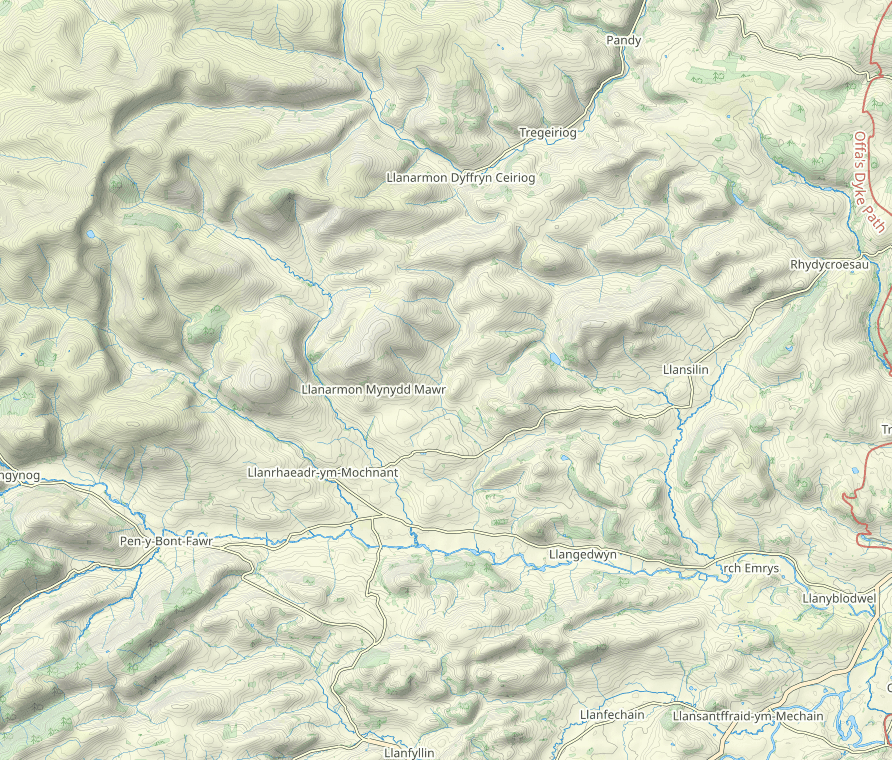
All cycle touring includes a route, and all routes exist on a map. The only question is where that map lives. It can be a paper map, it can be online, or it can exist purely in your head.
I start with an idea for a route. I answer questions such as “What area do I want a route guide for?”, “What is there to see?” and “How many traffic-free segments are there?” Once I have a basic idea of an area, it’s time to do some digital mapsploring. As a self-confessed and proud map geek, I never need much encouragement to go pour over maps, and my RideWithGPS subscription is chocka with many unfinished routes.
The draft route
Once I have a basic idea of the route, I go draw a draft on the map. It’s quite normal for me to go through many different versions of the route, as I keep refining the draft. I switch between Google Maps, Google Satellite View, Google Streetview, Open Cycle Map and the Open Streep Map’s Outdoor Map. I also more often than not go look at old versions of OS maps (sometimes going back over a hundred years) and I also rely on Strava heatmaps In addition, I might also ask Twitter about what a particular road or lane might be like.
The test
Once I have what I believe is a draft route ready for testing, the next step is to go cycle it. This is critically important. After all, how can I expect you to go ride a route if I don’t know exactly what it’s like? During the ride, I may find some segments are poor, and that the route will need updating, to avoid such segments. This was the case with my testing the Cheshire Ring route: the Trent & Mersey Canal north of Sandbach is simply awful to cycle most of the way. If I found major changes are required, that pretty much hits the reset switch. Again, with the Cheshire Ring route, I’ve made major changes, and now I need to go and cycle those changed bits.
Bargain
Combined, all these factors make my GoCycle route guides an absolute bargain. I typically spend 60 to 80 hours preparing the route, in addition to the time it takes to go ride it. Following that, I spend around a further 20 hours creating the route guide itself. On top of that, I need to factor in my costs. With the Cheshire Ring, to date that runs to around £200, and I need to travel back up there, to go ride the changed sections. And you get the result of all that work for just £7! Even the most miserly will admit that it’s a huge bargain! For perspective, if you tried to create the route guide for yourself, and costed your time at just £1/hour, it would still have cost you well over £300! And then you may yet end up with a route that includes horrible sections!
Treat yourself to one of my GoCycle routes. For just £7, it’s probably the best bargain you’ll have this year!