

Route Overview
| Distance | 8.84 miles |
|---|---|
| Surface | The surface varies, but is mostly unsealed. It can get very muddy after rain, and there are some cobbled segments. |
| Difficulty | Moderate |
| Child-Friendliness | ✅ Very child-friendly |
| Suitable Bikes | Standard bicycles |
| Barriers | There are stone wall chicanes that trikes, tandems and most cargo bikes will struggle with. |
| Café / Food | After Hadfield, there are no cafés on the route. However, there is the Bull's Head pub, and the Dog & Partridge pub. |
| Train Access | You can get to the start by train to Hadfield station. There are no other train stations along the route. |
| Parking | There are car parks in Torside, Crowden, and Woodhead Station, as well as on Platt Street, Hadfield. |
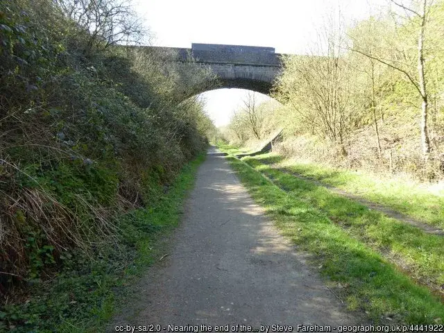
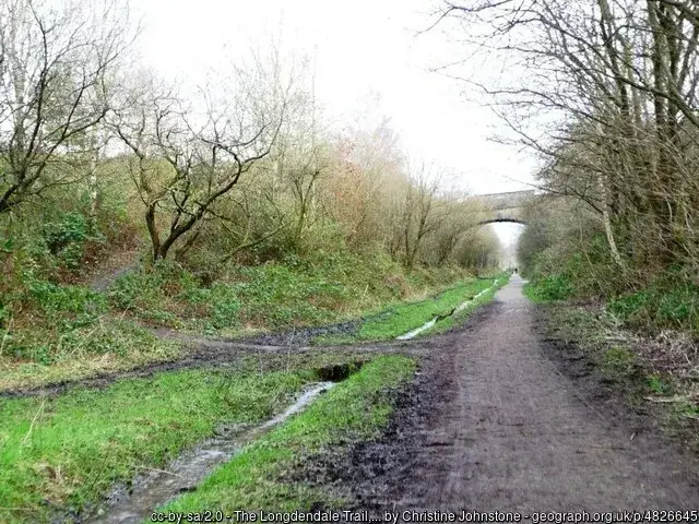
The Longendale Trail is located in the Peak District National Park. It follows the track bed of the old Great Central Railway, starting in Hadfield, to finish almost 9 miles later in Salter’s Brook. From the start, the trail starts heading uphill, but it’s a gentle incline. However, after 7 miles, there’s a steep uphill.
Longendale Trail cycle route overall rating: 


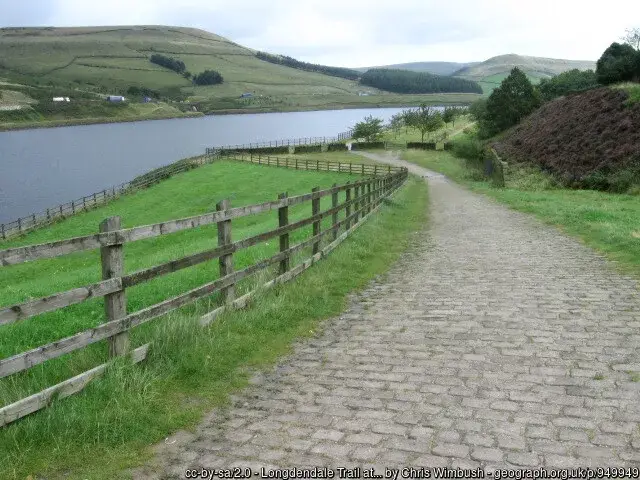
Surface on the Longendale Trail
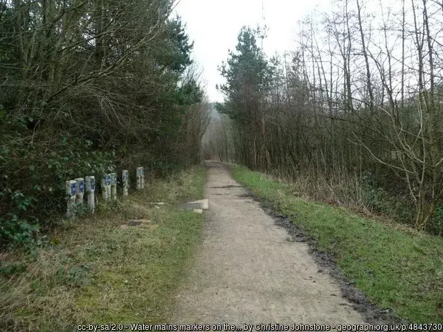
The surface varies significantly. In places, it’s cobbled, but mainly it’s unsealed, and can get very muddy after rain.
Refreshments
In Hadfield, you have several options, but beyond that it’s pretty much limited to the Bull’s Head pub, and the Dog & Partridge pub.
Bikes
Because of the surface, you’d be better off on a bike with chunkier tyres. Skinny-wheeled road bikes will seriously struggle with this route.
Tandems, most cargo bikes and trikes will struggle with the stone chicanes along the route.
Toilets
There are toilets at Hadfield station, and again at the Bull’s Head pub, as well as the Dog & Partridge pub.
Safety from traffic
This route is entirely traffic-free
Ratings
Points of Interest
Offering scenic views of the Peak District, including several reservoirs, the trail is rich in industrial heritage.
The Torside Reservoir used to power cotton and paper mills, but now supplies Manchester with water.
Routes in Derbyshire
- Longendale Trail
- Monsal Trail Traffic-free Cycle Route
- Tissington Trail Family-friendly Cycle Route
- High Peak Trail traffic-free cycle route
- Cloud Trail Traffic-free Cycle Route
Barriers
There are no barriers on the Longendale Trail. However, there are several narrow gates, and also stone chicanes.
Cycle Hire
You can hire bicycles at Hadfield Bike Hire.
Hilliness
This route has a near-constant, but gentle incline.
Child friendliness
This route is suitable even for reasonably young children.
Social safety
The Longendale Trail has parts that can be quite deserted and remote. However, on sunny, warm weekends, it can be reasonably busy.
Weather forecast for the Longendale Trail

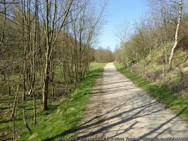
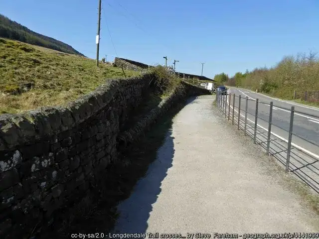
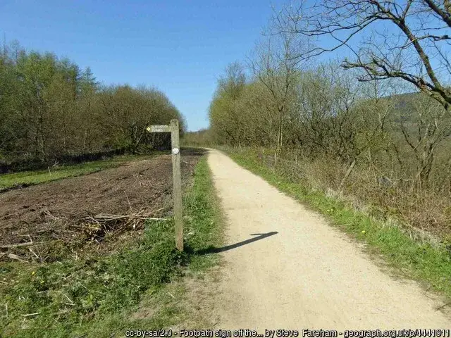
What the Longendale Trail looks like
Getting to the Longendale Trail
The route as shown on the map below starts at Hadfield station, so you can easily get to the start car-free, by taking your bike on the train. As ever, read my Bikes On Trains guide for useful and helpful tips for taking your bike on the train. You can get a train to Hadfield from Manchester Piccadilly, but do note that you’ll have to change trains at Glossop.
Parking near the Longendale Trail
There are car parks in Torside and Crowden. Torside has a picnic area, and Crowden has a campsite. Additional access is at Platt Street, Hadfield, and Woodhead Station.
More Routes
To find more routes, click this link.
Longendale Trail cycle route interactive map
You can download the GPX file from the map below, simply by clicking the GPX button. Hovering over the elevation profile will show the elevation for that point along the route, in both metres and feet. It will also show the gradient.
If viewing the map on your phone, you will also see a Find Me, Navigate and Record Route button, below the map. WillCyclers can have voice turn-by-turn navigation of the route, and participate in any treasure hunts that may be active along the route.
And finally…
If this route guide was of use to you, it will be of use to others, too. Don’t keep it secret! Share it with everyone, on social media, in Facebook Groups, on chat forums, and elsewhere.