

Waskerley Way Cycle Route Overall Rating:
(Colour explanation: blue = good, yellow indicates some warning, and red indicates issues to be aware of)


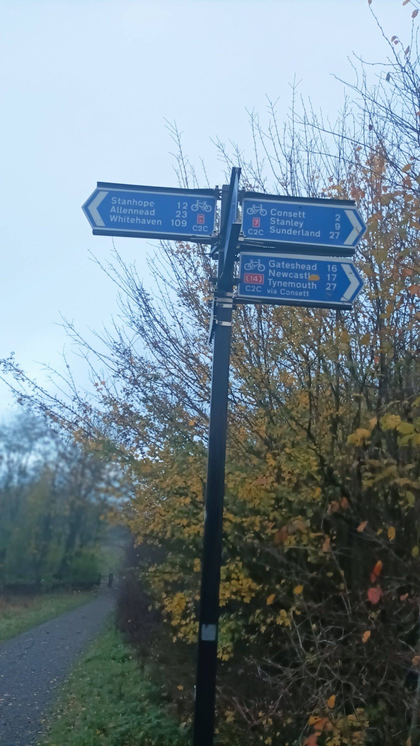
The Waskerley Way is a former railway line which was the Stanhope and Tyne railway. It is part of NCN 7 which helps form the long distance Coast 2 Coast route, from Whitehaven in Cumbria to Sunderland. The railway used to be the highest standard gauge railway in the country
It runs from the road at Parkhead, at the top of Crawleyside Bank, near Stanhope, to meet NCN14 at Lydgetts junction, just outside of Consett.
The route is 9.6 miles long in one direction, so almost 20 miles as a there-and-back round trip. It is mostly a steady gradient from east to west, but has a handful of short steeper ramps in places. Durham county council, who created the route, have produced a guide to the route.
Most of the information, and all the photos in this route guide was kindly supplied by Gary Dawes. Any errors are mine alone.
Surface on the Waskerley Way
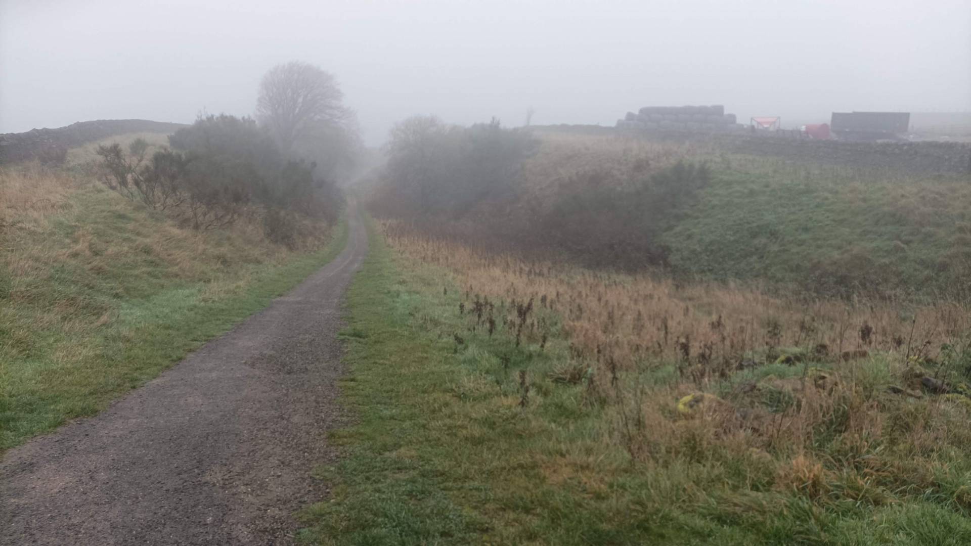
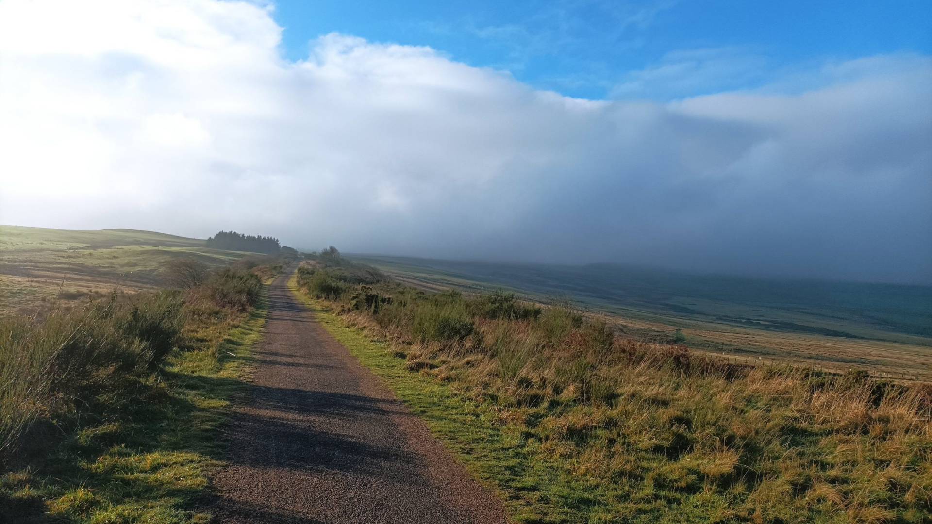
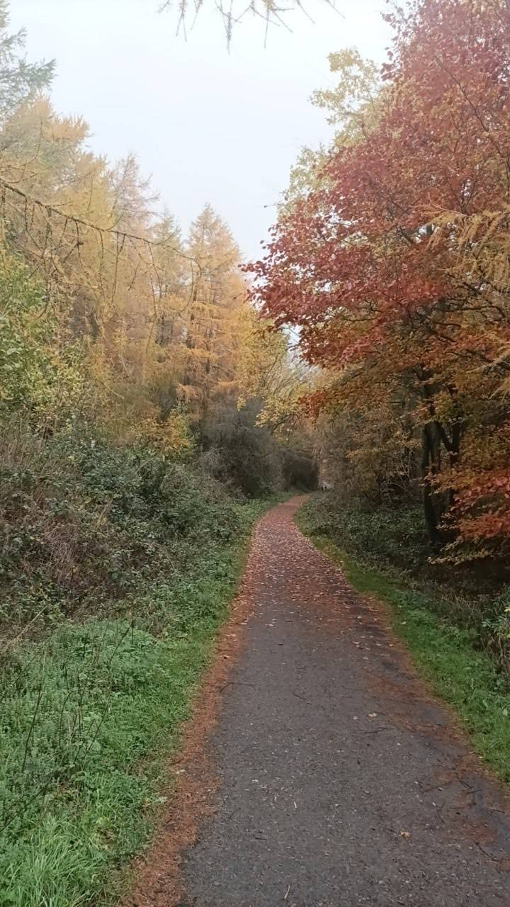
The route is tarred for its eastern half. The western half is hardpacked, but unsealed, and may have the odd pothole.
Bikes
As it’s a Sustrans flagship route, the whole route can be ridden on most kinds of bicycle. However there are some gates which may somewhat hamper trikes, and most cargo bikes.
Refreshments
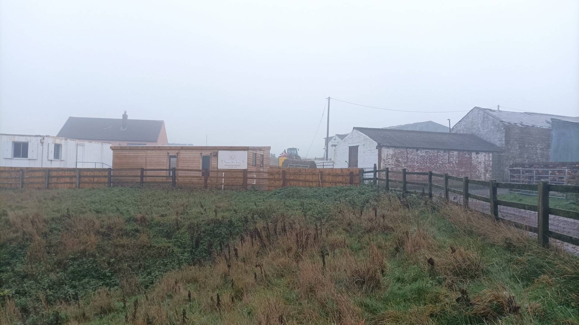
There are cafes at Parkhead, Nana B’s (Red house farm approx. halfway) and Hownsgill at the eastern end. Check opening times.
Toilets
There are picnic areas along the route at Parkhead. Hawkburn head, Whitehall, and Rowley.
Hilliness
Though the inclines are mostly mild, be aware the route is uphill almost the entire way (but downhill on the way back).
Safety from traffic
The route is traffic-free
Ratings
Points of Interest
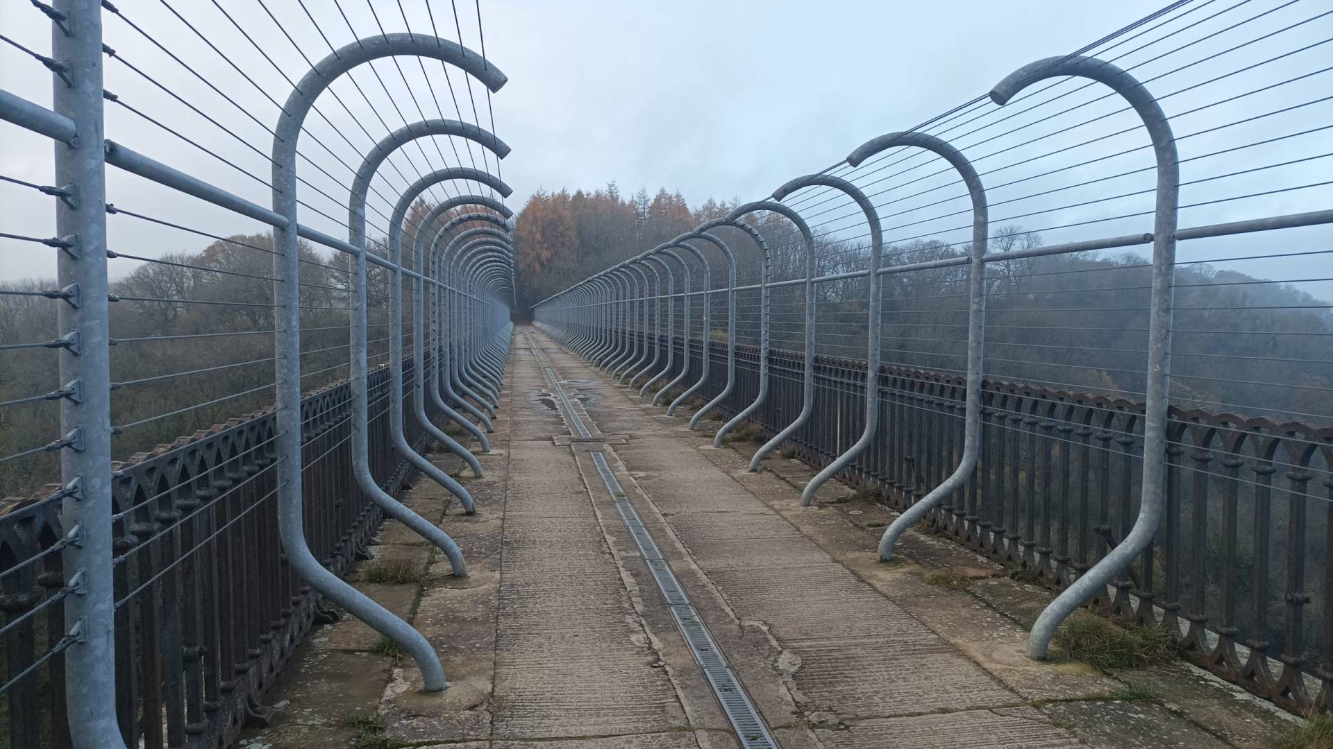
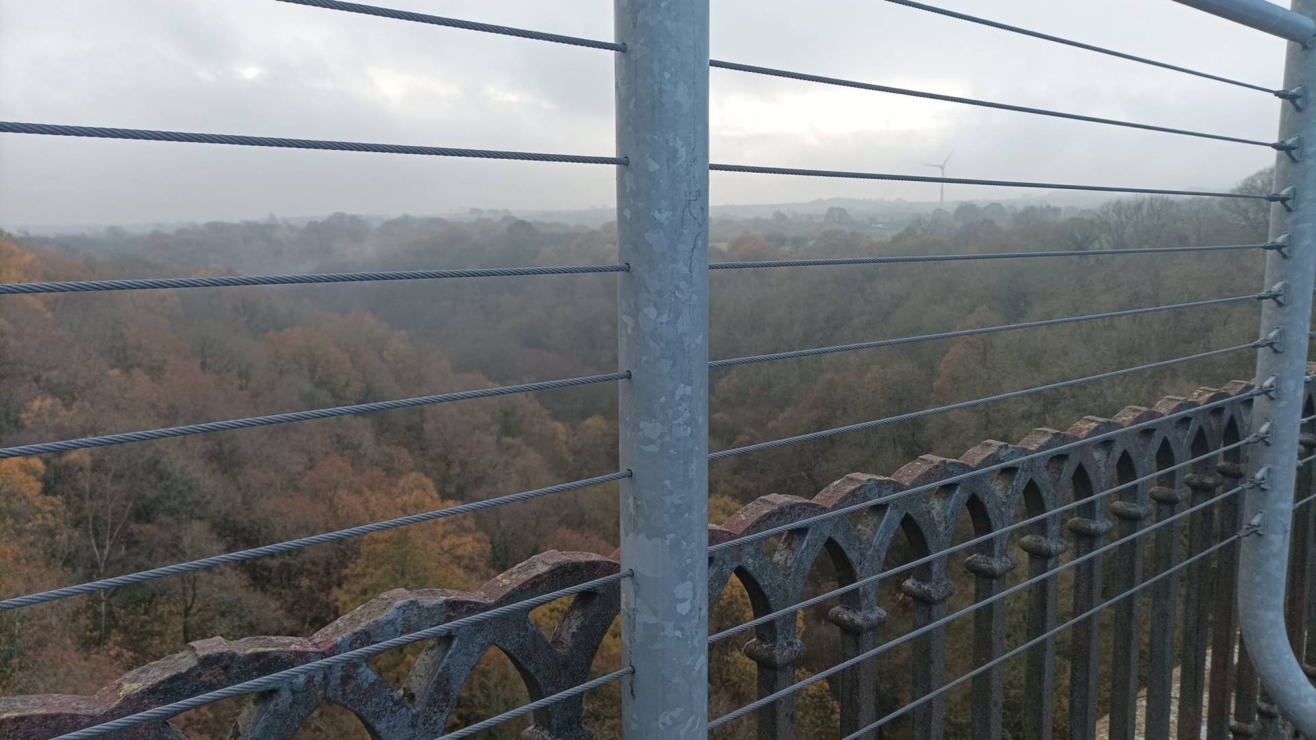
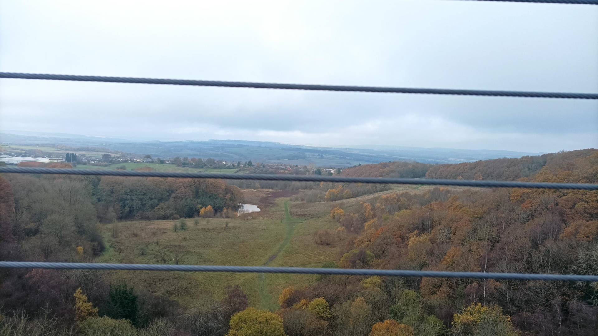
The highlight of the route is probably Hownsgill viaduct, which is 46 metres above the valley floor, and spans across 12 arches.
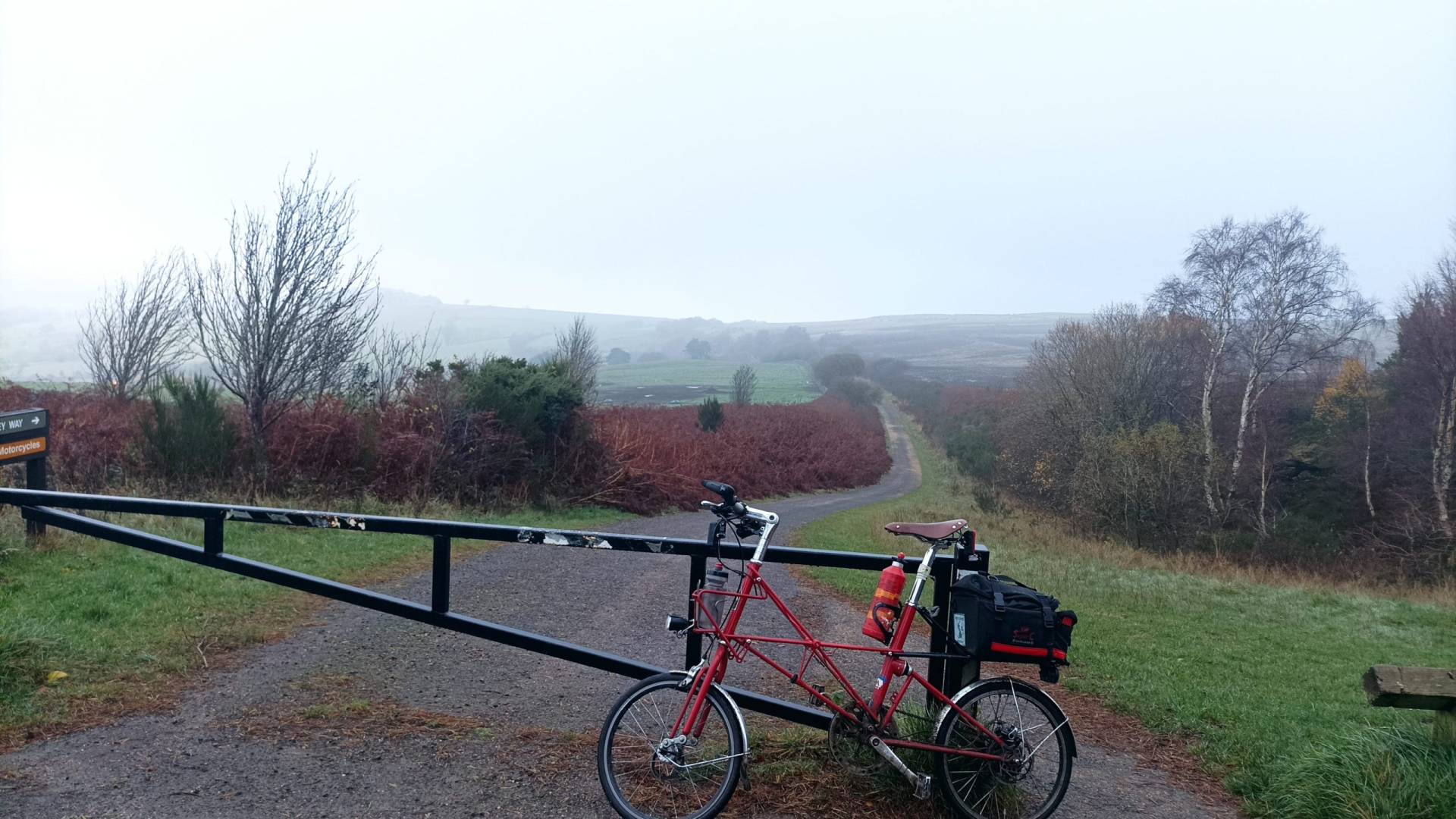
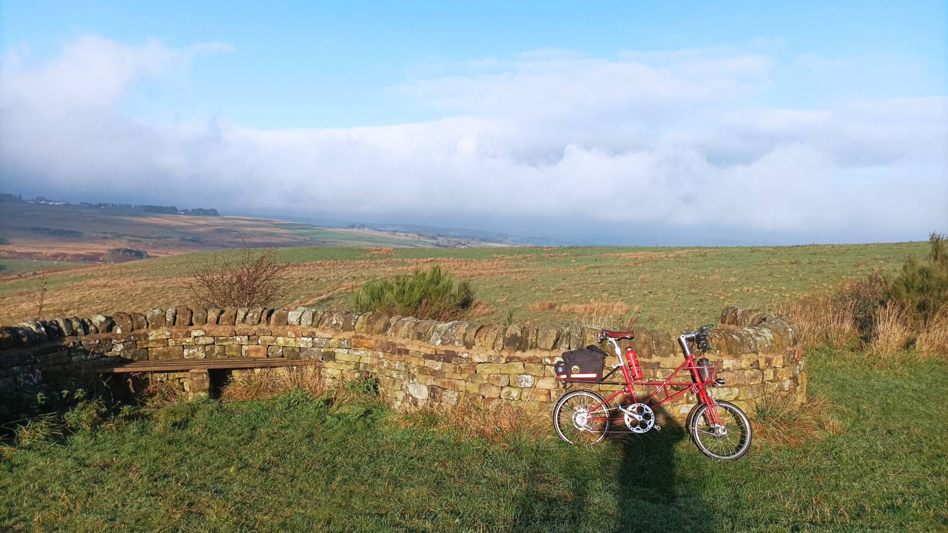
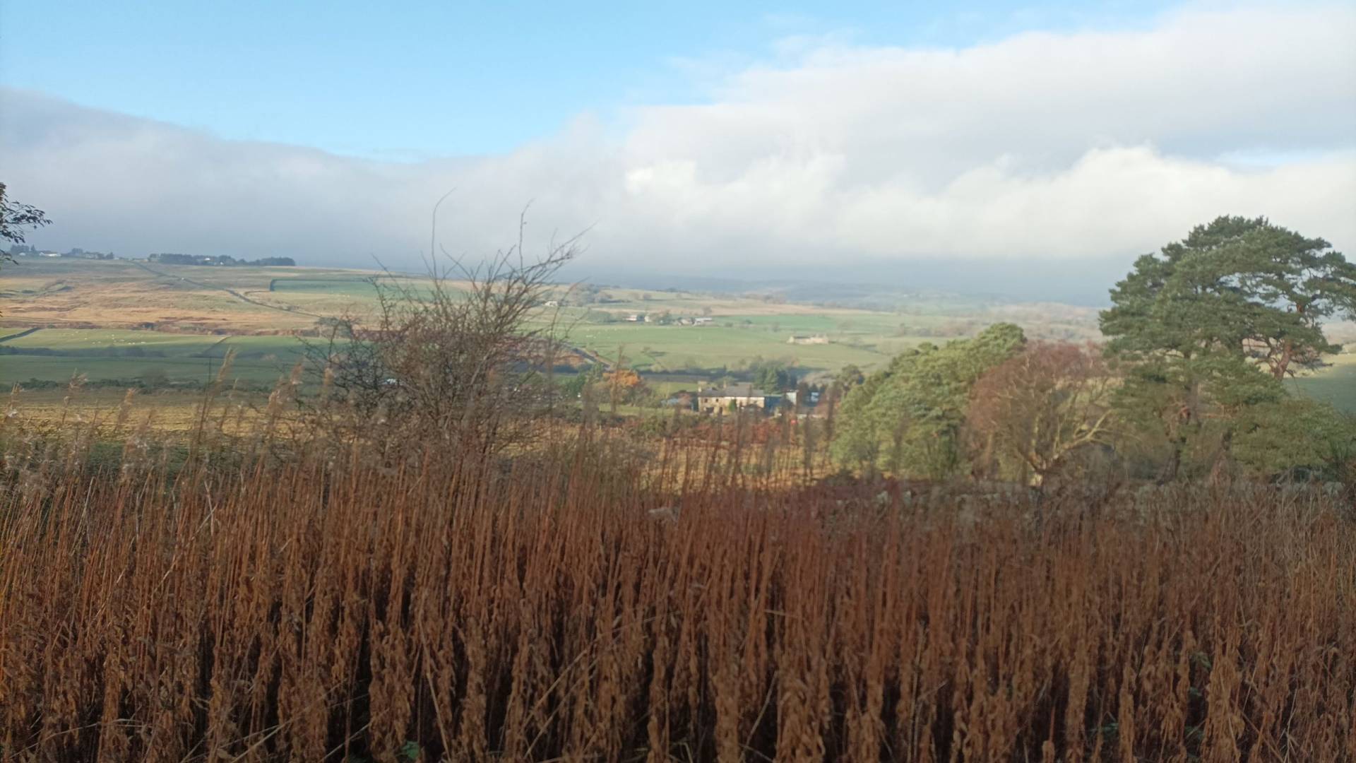
The whole route is extremely scenic with breath-taking views across the North Pennines.
At the eastern end where the route crosses NCN14, there is an old smelter rail car as a memorial to Consett steelworks which closed in the 1980s. There is a small church at the ghost village of Waskerley, which has an interesting display of some of the history of the village and the railway.
Routes in Durham
- The Lighthouse Trail
- Reivers Route – UK Coast To Coast Routes
- C2C – UK Coast to Coast Routes
- Lanchester Valley Railway Path
- Deerness Valley Railway Path cycle route
- The Waskerley Way traffic-free cycle route
- Thorpe Thewles to Ryhope traffic-free cycle route
- Derwent Walk Cycleway
- Two Rivers Cycleway
- Consett & Sunderland Railway Path
- Bowes Railway Path Traffic-free Cycle Route
Barriers
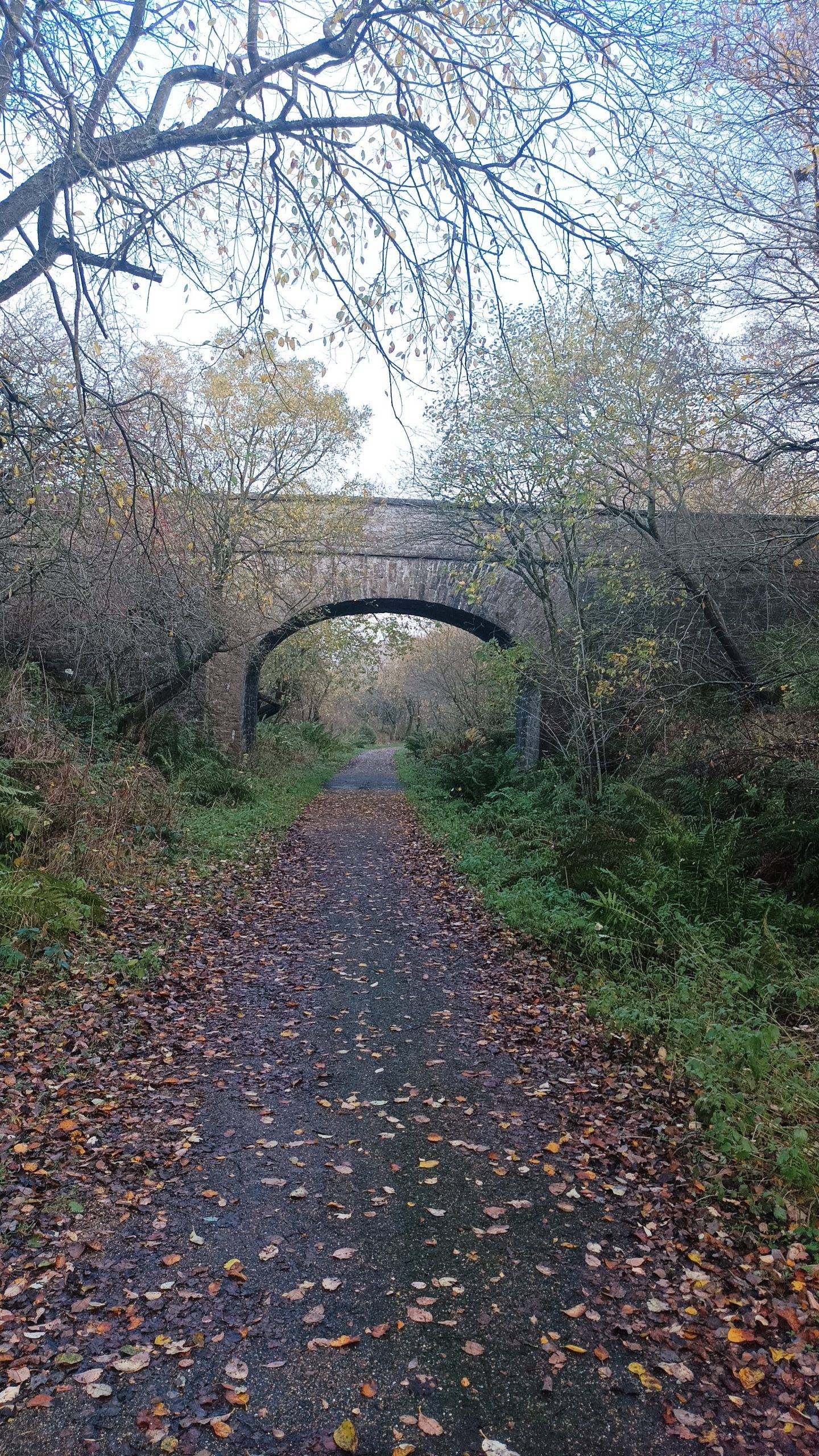
There are some chicane barriers at Rowley where the path leaves the picnic area, and some barriers at Palmers bridge to prevent car access to the path. These are comfortably bypassable when cycling.
There are a couple of pairs of gates which have a sprung catch across farm roads at Whitehall farm, and Red house farm. Riders do need to dismount and walk though these gates, and the springs can be enthusiastic.
Child friendliness
The route is suitable for even young kids, but do consider their stamina, due to the continuous uphill.
Social safety
Parts of this route can be very isolated.
Forecast for the Waskerley Way

What the Waskerley Way looks like
Getting to the Waskerley Way
Consett is not on any rail link, but for the car free, the X70 and X71 bus services – between Consett, Stanley, Gateshead and Newcastle – take bicycles.
There are various local bus services to Stanhope, but best to check local timetables, and ability to carry cycles before travelling.
The route is well signed and easy to follow.
More Routes
To find more routes, click this link.
DayCycle
DayCycle routes are routes can can easily be cycled by most people in a day, or part of a day. Do have a look at all the other DayCycle routes available on WillCycle.
Interactive map for the Waskerley Way
You can download the GPX file from the map below, simply by clicking the GPX button. Hovering over the elevation profile will show the elevation for that point along the route, in both metres and feet. It will also show the gradient.
And finally…
If this route guide was of use to you, it will be of use to others, too. Don’t keep it secret! Share it with everyone, on social media, in Facebook Groups, on chat forums, and elsewhere.