

Alton Water itself is a reservoir in Suffolk, just south of Ipswitch. This 7.5 mile traffic-free cycle route guide is for the route that encircles the reservoir. Depending on the season, and the maintenance schedule, parts of the route may be somewhat overgrown.
Alton Water overall route rating:
(Colour explanation: blue = good, yellow indicates some warning, and red indicates issues to be aware of)


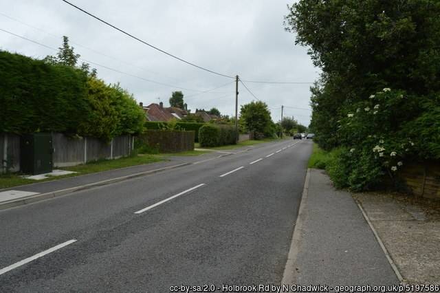
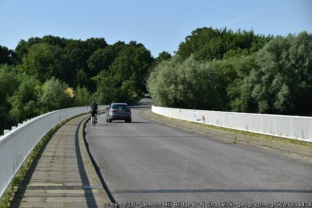
An initial art of the route is along a quiet lane. If I was cycling with especially younger kids, I’d let them ride along the pavement there. Soon the route becomes completely traffic-free, but around halfway along it crosses a bridge.
Again, there is a pavement for kids to use, and the road shouldn’t be overly busy. Almost immediately after the bridge the route becomes completely traffic-free again.
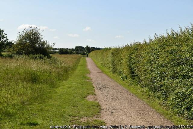
Surface on the Alton Water trail
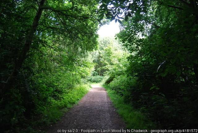
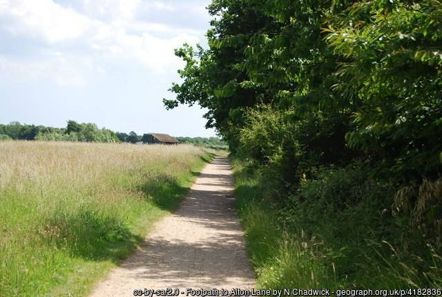
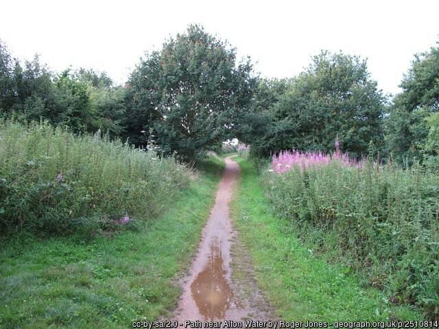
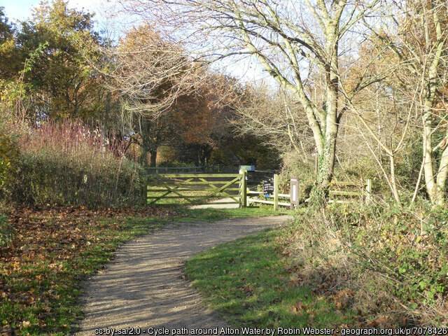
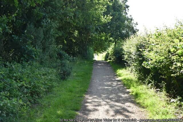
For most of the route, the surface is self-compacting gravel. It’s an easy-enough surface to ride on with most bikes, but can get bumpy in places. After rain, expect muddy puddles in places.
Bikes
You can use any kind of bike, but skinny-wheeled road bikes riders will find it a rather bumpy ride.
Toilets
There are toilets by the café at the start, but not anywhere else.
Refreshments
Aside from the café at the start, there are no other refreshment stops along the entire route.
Child friendliness
Even young kids would be able to enjoy this route, but consider avoiding the on-road segment. As the route is near water, ensure there’s a competet adult swimmer in the group.
Social safety
a
Ratings
Points of Interest
Harkstead beach is nearby.
Routes in Suffolk
Barriers
There are no barriers along this route. Much of the route is used by Bike Active to deliver disabled-friendly cycling activities.
Bike Hire
You can hire bicycles from Alton Water Cycle Hire, situated in the watersports centre.
Hilliness
The route is not perfectly flat, but the slight bumps it has are all gentle enough.
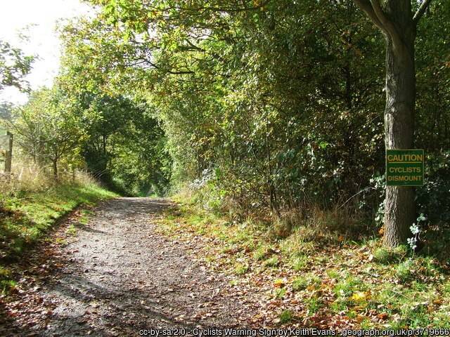
Safety from traffic
Part of the route includes using a road. Although normally quiet, and with a pavement for kids to use (yielding to pedestrians, as they do so) some people will find this off-putting.
However, you don’t have to cycle all the way round, and can therefore avoid the on-road section.
Forecast for the Alton Water trail

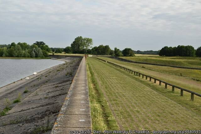
What the Alton Water trail looks like
Getting there
Sadly, there’s no railway station very close, so I expect most people will drive to this route. The route starts and ends at the café next to the public car park.
More Routes
To find more routes, click this link.
DayCycle
DayCycle routes are routes that can can easily be cycled by most people in a day, or part of a day. Do have a look at all the other DayCycle routes available on WillCycle.
Interactive map for the Alton Water trail
You can download the GPX file from the map below, simply by clicking the GPX button. Hovering over the elevation profile will show the elevation for that point along the route, in both metres and feet. It will also show the gradient.
And finally…
If this route guide was of use to you, it will be of use to others, too. Don’t keep it secret! Share it with everyone, on social media, in Facebook Groups, on chat forums, and elsewhere.