

Route Overview
| Distance | 3.5 miles |
|---|---|
| Surface | The route is tarred throughout, though in places the tar is starting to break up, and it can be a tad bumpy. |
| Difficulty | Moderate |
| Child-Friendliness | ✅ Very child-friendly |
| Suitable Bikes | Anything (including trikes) |
| Barriers | There are no barriers at all. |
| Café / Food | This route has no cafés at all. |
| Train Access | The nearest train station is Barnstaple, which is some 15 miles away. |
| Parking | There's limited parking near the top of Station Road, Ilfracombe (EX34 8DJ) or in the little car park on Georgeham Road, just off from the junction with Willingcot Hill. During mid-summer, you will struggle for parking in both locations. |
The Tarka Trail offers some of the very best traffic-free cycling available in the UK. This 3.5 mile segment is disconnected from the rest of the Tarka Trail though. Starting adjacent to the site of the old Ilfracombe railway station, the route follows the track of the old Ilfracombe branch of the London & South Western Railway.
Along the way (provided you look back) you are at times rewarded with spectacular sea views, and on a clear day, you can see Wales across the Bristol Channel. Barring a single road crossing, the route is entirely traffic-free, but be warned, it is a near-continuous uphill, from the start.
This part of the Tarka Trail cycle route overall rating:
(Colour explanation: blue = good, yellow indicates some warning, and red indicates issues to be aware of)


Surface on the route
The surface is tarred all the way, and is mostly rather good, with a few more bumpy bits in places.
Refreshments
There are no refreshment stops directly on the route at all.
Bikes
You can use any type of bicycle on this route, including tandems, cargo bikes, and trikes.
Toilets
There are no toilets along this route.
Hilliness
The route is uphill almost from the very start.
Safety from traffic
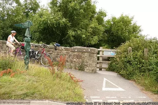
This route is entirely traffic-free, though you will have to cross the B3343, and that road can get busy, especially during mid-summer.
Points of Interest
The absolutely stunning Woolacombe beach is nearby, and in Ilfracombe itself, Tunnels Beaches is quite different – you access the beach via a tunnel chiselled through the rock.
Routes in Devon
- Tarka Trail – Ilfracombe to Willingcott
- Dart Valley Cycleway
- Exmouth to Budleigh Salterton
- The Exe Estuary cycle route to Exmouth
- Nun’s Cross Trail cycle route
- Princetown Railway traffic-free cycle route
- Saltram Loop traffic-free cycle route
- DayCycle – Tarka Trail
- Family-friendly Cycling On The Granite Way
- DayCycle – A Redlake adventure
- DayCycle – Grand Western Canal
- DayCycle – Stover Trail & Wray Valley Trail
- DayCycle – Dawlish to Exeter St Davids
- Family-friendly Cycling on Drake’s Trail
Barriers
There are no barriers along this route.
Cycle Hire
There are no bicycle hire options directly on, or very near this route.
Child friendliness
The route is quite child-friendly, provided the kids can cope with the near-constant uphill.
Social safety
Much of this route is very isolated, though in the high season it will be busy.
Weather forecast for the

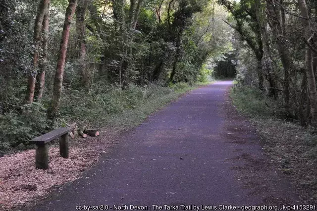
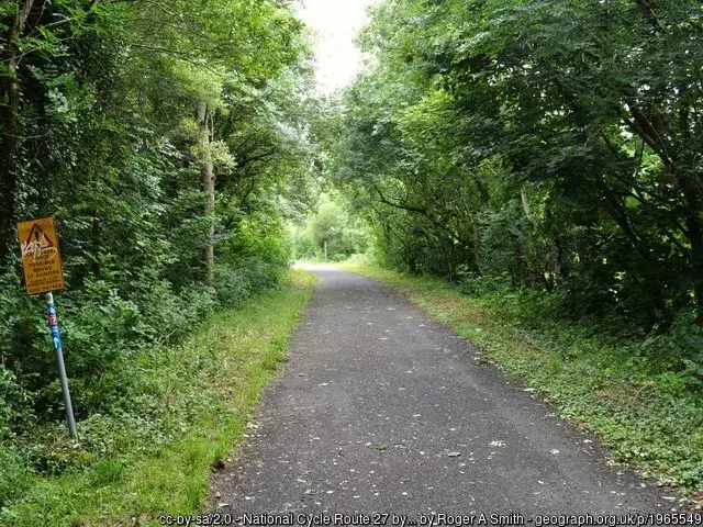
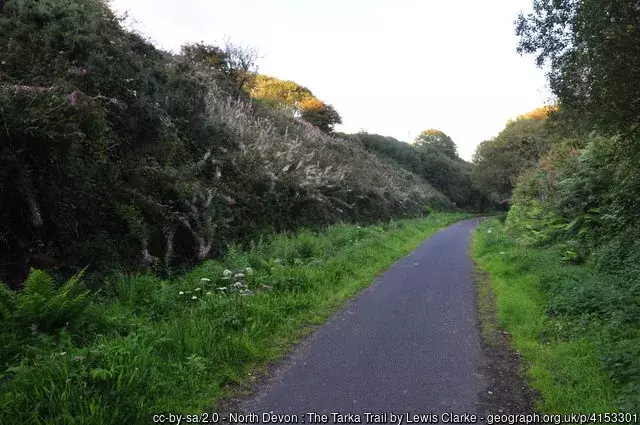
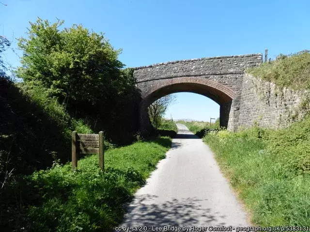
What this route looks like
Getting to this route
Your options are very limited: you can either cycle to this part of the Tarka Trail (it forms part of the Devon Coast To Coast route) or you can drive there. The nearest railway station is Barnstaple, which is around 15 miles away.
Parking near this part of the Tarka Trail
There’s limited parking near the top of Station Road, Ilfracombe (EX34 8DJ) or in the little car park on Georgeham Road, just off from the junction with Willingcot Hill. During mid-summer, you will struggle for parking in both locations.
More Routes
To find more routes, click this link.
DayCycle
DayCycle routes are routes that can can easily be cycled by most people in a day, or part of a day. Do have a look at all the other DayCycle routes available on WillCycle.
Interactive map for this part of the Tarka Trail
You can download the GPX file from the map below, simply by clicking the GPX button. Hovering over the elevation profile will show the elevation for that point along the route, in both metres and feet. It will also show the gradient.
If viewing the map on your phone, you will also see a Find Me, Navigate and Record Route button, below the map. WillCycle Supporters can have voice turn-by-turn navigation of the route. When there’s an active treasure hunt along the route, it will tell you so below the map.
And finally…
If this route guide was of use to you, it will be of use to others, too. Don’t keep it secret! Share it with everyone, on social media, in Facebook Groups, on chat forums, and elsewhere.